About this app
-
Name GPS Map Camera
-
Category Photography
-
Price Free
-
Safety 100% Safe
-
Developer GPS Map Camera
-
Version 1.4.33
Pro
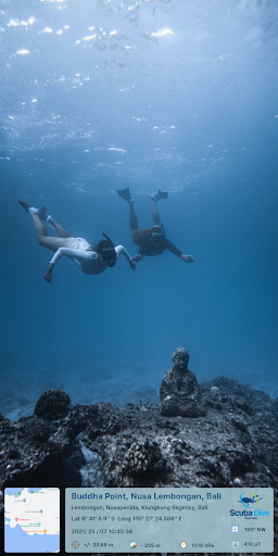
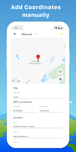
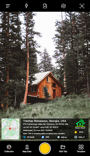
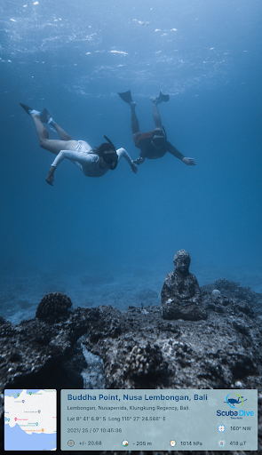
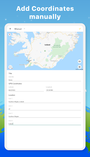
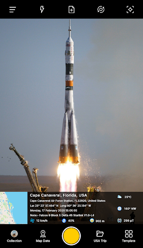
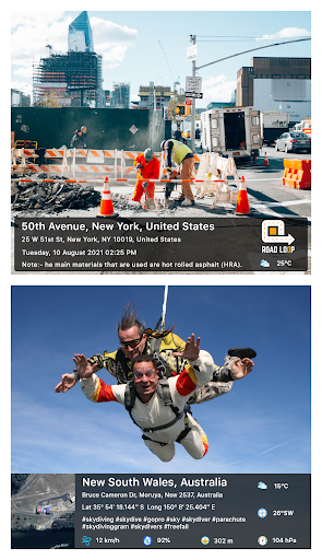
1. Geotagging Capabilities: GPS Map Camera embeds precise location coordinates into your photos' metadata, enabling users to effortlessly track and catalog the exact geographical context of each image, which is incredibly handy for travelers, researchers, and professionals needing location-based documentation.
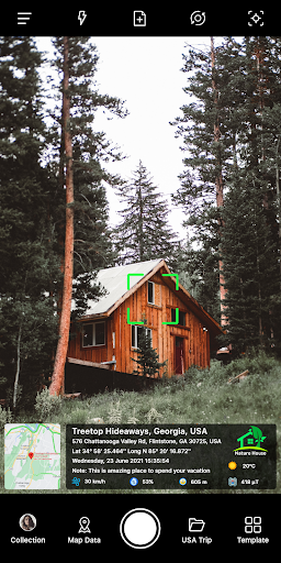
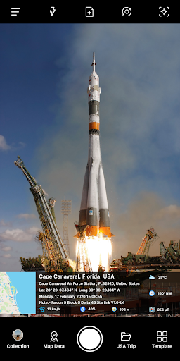
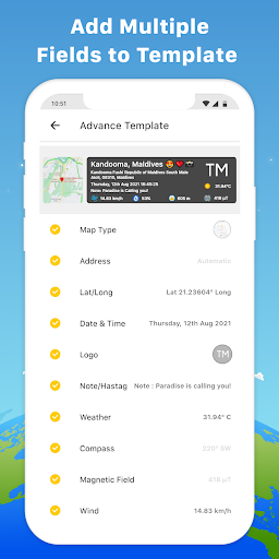
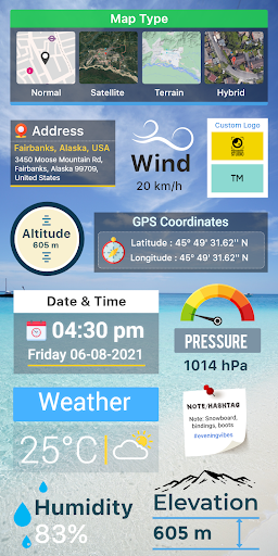
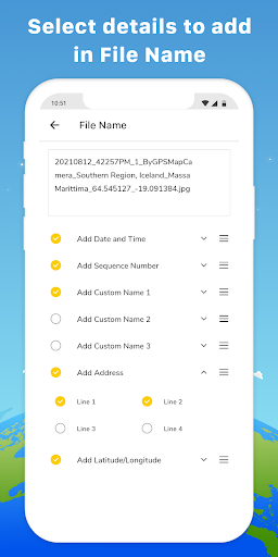
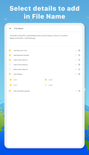
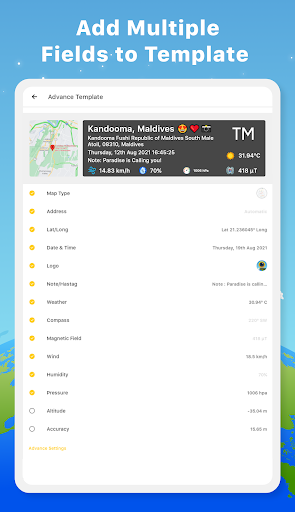
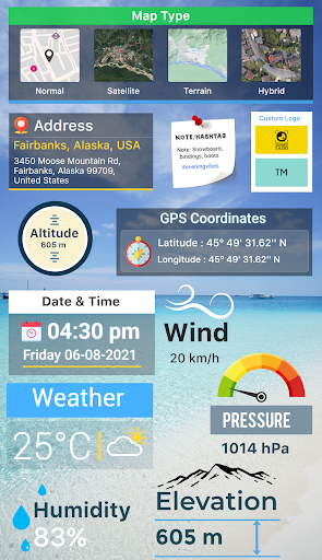
2. Customizable Stamp Features: The app allows users to add customizable stamps to photos, displaying information like latitude, longitude, altitude, date, and time. It's useful for organizing images and providing additional context at a glance without having to access separate files or databases.
3. Live Map View: By integrating real-time GPS data, the GPS Map Camera gives users the ability to see and capture their live position on the map directly through the photo interface. This enhances the immediacy and accuracy of location-focused photography, perfect for outdoor activities and location scouting.